Participants will utilize the USGS National Map 3DEP Lidar Explorer to define a topographic dataset, import, define, and create an image of that landscape in QGIS, and create a 3D model from that image in Blender to export for 3D printing.
|
Hours Wednesday, April 16, 2025 |
|
|---|---|
| Main Library | 7:30am – 2:00am |
| — Main Help Desk | 7:30am – 10:00pm |
| — Data Studio @ Main | 7:30am – 2:00am |
| — Interlibrary Loan Office | 8:00am – 5:00pm |
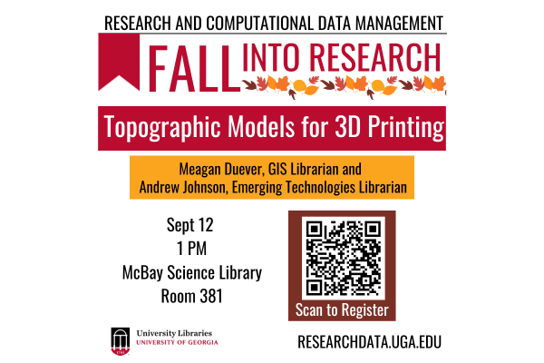
| 01:00 pm - 02:00 pm
Participants will utilize the USGS National Map 3DEP Lidar Explorer to define a topographic dataset, import, define, and create an image of that landscape in QGIS, and create a 3D model from that image in Blender to export for 3D printing.